
Shaowen Wang, professor of geography and geographic information science and associate dean for life and physical sciences in the College of LAS, discusses the dramatic advancement of his work and field.
What are you studying?
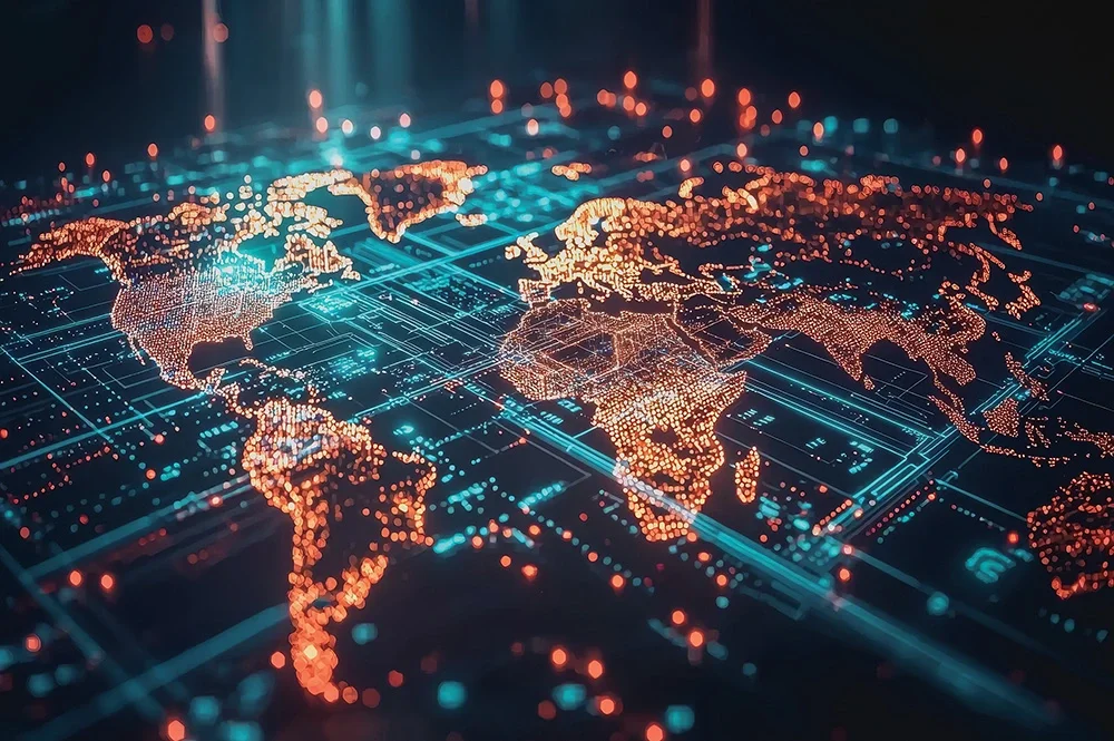
My research is focusing on artificial intelligence (AI) and data science approaches to addressing complex geospatial and environmental challenges. Together with my collaborators, I have been advancing cyberGIS— cyber-based geographic information science and systems (GIS)—as an interdisciplinary field, and we have played a leading role in shaping this vibrant area over the past few decades.
The primary goal of my work is to develop innovative cyberGIS solutions that empower computational
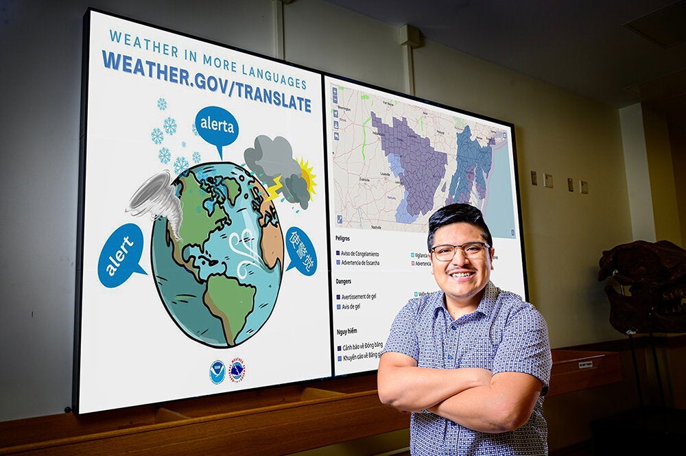
and data-driven research across a wide range of geospatial domains. Solving critical global challenges, such as environmental sustainability and emergency management, depends on robust geospatial understanding—enabled by effectively and efficiently harnessing complex, massive geospatial data through rapidly evolving digital technologies, including AI, GIS, and high-performance computing.
Please describe how you overcame an obstacle in pursuit of your work.
In 2020, in the midst of the COVID-19 pandemic, a group of my collaborators and I decided to write a proposal to the National Science Foundation (NSF) to establish a national center focused on harnessing the geospatial data revolution to address a wide range of social, economic, and environmental challenges. This effort led us to assemble a team of over 30 senior investigators from 11 institutions, spanning more than a dozen disciplines across the natural and social sciences. Developing a shared vision and mission for the center—entirely over Zoom during the pandemic— was both a challenge and a uniquely rewarding experience. These discussions were intense, stimulating, and invaluable for learning about the latest advances in a wide array of fields represented by my collaborators.
Ultimately, the proposal was successfully funded by NSF, and
the Institute for Geospatial Understanding through an Integrative Discovery Environment (I-GUIDE) was launched in 2021. The experience also inspired a major strand of my current research— focused on data-intensive geospatial understanding across
various spatial and temporal scales, motivated in part by the lessons learned from the COVID-19 crisis.
What advice do you give your students?
Think big, but pay attention to details and stay open-minded.
By Dave Evensen
Editor’s note: See other LAS Expert profiles here.