Not everyone can see the future of computers in a small tract of remote land along the Minnesota–Wisconsin border, but Shaowen Wang has a view most don’t have.
From his desktop computer in Davenport Hall, the geography professor uses Google Maps to focus on about 10 square miles of Minnesotan hills, keys in a few commands, and within minutes the image is painted shades of pink and gray to illustrate the slopes and valleys visible from vantage points along the eastern edge of the map.
It sounds simple, but to understand why the National Science Foundation thinks it’s worth a multimillion-dollar grant you must get behind the scenery. The map represents years of research in the growing collaborative network of computer resources known as the cyberinfrastructure that makes possible a new realm of discoveries and innovations.
With all the data that are available, Wang and computer scientists say that computational science has become a key pillar across nearly all science and engineering disciplines. It sounds compelling, but the question remains how to link data and computation together to fuel the potential.
In the case of the map, Wang’s commands were shuttled off to U of I’s National Center for Supercomputing Applications, where a supercomputer ground every sliver of the land through a complex sub–meter analysis before sending the shaded version back to Wang’s desktop. No personal computer could handle such a data crunch in anything less than hours, or days—if at all.
Not that Wang’s work is all about painting landscapes. He founded U of I’s Cyberinfrastructure and Geospatial Laboratory in 2007 and, with his team, began creating computational frameworks that open up all kinds of possibilities with what you can do with a map and geospatial data. Hooked into a national partnership of supercomputers to crunch the data, it would be like putting your car navigation device on steroids.
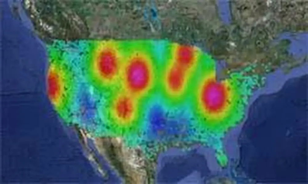
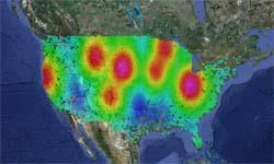
One of the more popular images coming out of the lab is a shaded map of disease risk overlaying a map of the United States. Based on intensive simulations made possible by linking data and computer resources in the national cyberinfrastructure, the map suggests what areas health officials might focus efforts in the future to stem a pandemic.
Many challenges remain, but Wang, also a senior research scientist at U of I’s National Center for Supercomputing Applications, thinks it’s possible someday for smart phones to direct disaster victims to roads that are clear of debris, or for meter–by–meter analysis of where climate change and floodwaters will impact. Wang has partnered with several universities, companies, and government agencies—and researchers affiliated with the U.S. Geological Survey have already drawn upon Wang’s knowledge of cyberinfrastructure to efficiently transform mountains of data to create better maps.
And, he adds, if he can so quickly do a detailed elevation analysis of the Minnesota hinterlands, imagine how a similar analysis might have helped along the east coast of Japan last March when tsunami victims were scrambling for high ground.
“We have electricity and transportation infrastructure,” he says. “Now people believe that this new cyberinfrastructure is the most serious undertaking in this century.”