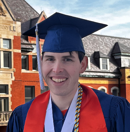
At the University of Illinois, undergraduate students have numerous opportunities to participate in research related to their majors and areas of study. Tiffany Chen, BS, ’24 and Jason Segal, BS, ’23, are recent alumni who majored in geography & geographic information science, or GGIS. Read more about their experiences in undergraduate research as GGIS majors.
Tiffany Chen (BS, ’24)
 I worked as a Roepke Research Scholar with professor Brian Jefferson on his Illustrations of Communication and Control Processes project. My role as a research assistant involved data collection, diagram design, and ensuring stylistic consistency.
The figures I worked on included cybernetics geopolitical flowcharts, ARPANET network cable maps, and logic gates with neuron connector diagrams. I gained a holistic understanding of global development from mapping internet usage, telegraph networks, and railroad development. Working as a geo-visual coordinator also deepened my understanding of geography and its connections to political, technological, and environmental fields.
My hands-on undergraduate research experience broadened my perspective on geography and its extensive applicability. Inspired by this cybernetics research, I plan to continue this work in both my career and further studies in geography and GIS. Post-graduation, I aim to apply my passion for serving my community by addressing geospatial and complex issues related to waste management, energy, and transportation.
Jason Segal (BS, ’23)
 During my time as a Roepke Scholar with Julie Cidell’s “Society, Mobility and Infrastructure at Illinois Lab,” I worked on the Freight (de)Centralization project, which is a follow-up to a groundbreaking study she conducted showing that freight and logistics activity were decentralizing in most U.S. metropolitan areas and away from city centers.
I used a variety of geographic and research techniques on this project. Collecting and aggregating the data took a lot of time and required meticulous work to comb through, clean, and select the county data for all 51 metropolitan areas that we looked at from the years 2005 and 2020.
To understand how the concentration of warehouses differed from each of the metropolitan areas, we calculated a Gini-index (coefficient) for each area based on the distribution of warehouses across the area’s counties. This allowed us to quantify how the distribution of logistics centers changed from 2005 to 2020 and compare it with the prior trend. I could then also map the data using GIS software and properly classify it to ensure it was properly visualized, which allowed us to find spatial trends in the data like a coastal-versus-heartland pattern that appeared to be emerging.
Working on this project was a great opportunity to apply skills I learned in my coursework. Since graduating from Illinois, I have begun working in the emergency management field, which has a large logistics component. And I’m proud to share that I recently received the Illinois Emergency Services Management Association’s Student of the Year Award!